top of page
Explore our services and get in touch
Our Services
 01.
Aerial Plantation Surveillance
Comprehensive aerial surveillance for palm oil and agricultural plantations using the Zendisk Smart Farming Drone, giving farm managers clear visibility of their fields from above.
 02.
Agricultural Field Mapping
Aerial mapping and surveying that helps agricultural teams visualize field layouts, track crop conditions, and support smart farming decisions.
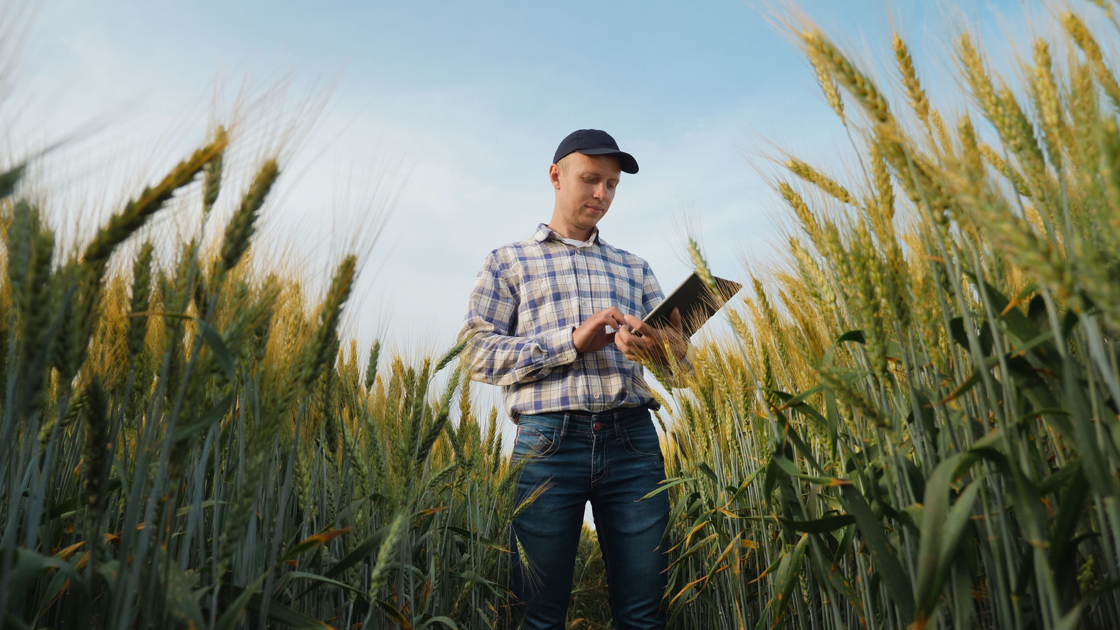 03.
Smart Farming Support
Dedicated support to help agricultural teams integrate the Zendisk Smart Farming Drone into their operations, from crop observation to ongoing farm monitoring.
bottom of page